
Trace a Sumter Street by Address
Address research in Sumter is a chain of separate records. A map gives geographic context. A property route can provide a parcel or property-card lead. A recorded instrument can document a transaction. Historical directories and maps can describe an earlier street. None of those sources alone identifies a current household. Work from the address as printed in the record, keep each source date, and let the responsible office explain any conflict.
- Validate the mailing form with the official USPS tool, then preserve the original address spelling from any older document.
- Use the City/County map to locate the road, parcel context, subdivision, and City-limit layer.
- Open the County property route for a parcel or property-card lead, checking the live screen for available fields and record date.
- Use the parcel, legal description, or prior party name to request the recorded-instrument trail from the Register of Deeds.
- For a dated household or street clue, compare the 1905–06 Walsh street department or a 1902 Sanborn map with the instrument and map evidence.
A voter record has a different path. MySCVotes is an individual election-information tool, while the County board or Clerk handles the statutory inspection route. Research did not find an official public voter list searchable by Sumter street or block. Do not turn a map, an assessment name, or an election record into a claim that a particular person currently lives at an address.
Map a Sumter Street Search
The City’s Mapping Services describes Parcel, Road & Address, zoning, flood-hazard, census, cemetery, and elected-representative map products. Its public City/County viewer can place a target street beside a road centerline, parcel, subdivision, or City limit. Record the map date, layer name, scale, and any visible location identifier. A map popup is useful geographic evidence, not a current residents directory.
The County designates a qPublic property and mapping route. The Sumter gateway could not be inspected during research. qPublic’s general interface advertises several search methods, but the active Sumter form must be checked before treating any of them as available. This distinction matters when an address needs a parcel lead rather than an assumed property result.
| qPublic search method advertised generally | Useful research key | Sumter status |
|---|---|---|
| Name | Possible property-card lead | Not confirmed on the live Sumter gateway |
| Address | Street or physical-location lead | Not confirmed on the live Sumter gateway |
| Parcel ID | Parcel-specific property-card lead | Not confirmed on the live Sumter gateway |
| Alternate ID | County-specific identifier where offered | Not confirmed on the live Sumter gateway |
| Map | Geographic orientation | Not confirmed on the live Sumter gateway |
Note: Confirm the live field labels and result date before relying on a County property display.
Read Sumter Address Records
A Sumter street directory search gains accuracy when every record stays in its own lane. The geographic map can orient a street. The property route can point toward a parcel card. The Register of Deeds holds recorded instruments. Election staff oversee registration records. City Building has permit-account functions, but no general public City permit-result database was found. Each source helps with a narrow, address-based question and has an access route of its own.
| Address-keyed source | Custodian or route | What it can support | Important boundary |
|---|---|---|---|
| Map layers | City/County GIS viewer | Road, parcel, subdivision, and City-limit context | Not a resident list or legal boundary decision |
| Property route | County-designated qPublic | Parcel or property-card lead | Live Sumter fields were not verified |
| Recorded instruments | Register of Deeds | Instrument number, parties, date, and legal description | Not a complete title opinion or present-residence proof |
| Registration records | County board or Clerk | Statutory inspection path | No verified online street or block roster |
| Building materials | City Building and account holder | Permit application and account functions | No verified general public result search |
| Historic street sources | UofSC directory and Library of Congress maps | Dated address, use, and street context | Historical evidence only |
For example, a legal description can connect a recorded deed to a parcel when street numbers have changed. A mailing address in a tax record can differ from the physical site. A party named in a deed may be historical. The useful address-record method is to label each item as map, assessment, recorded instrument, election record, or historical source before comparing it.
Define Sumter Address Keys
Address labels are not interchangeable. The map may show a street location, a property record may show a physical or mailing label, and a deed may use a legal description. Keeping these terms separate prevents an address search from turning into an unsupported claim about a current household. The same street number can be tied to different historic parcels, mail routes, or City-limit status over time.
- Parcel
- A land-account or mapped identifier used to connect a location to property research.
- Situs address
- The physical location label used for a property, which can differ from the tax mailing address.
- Plat
- A recorded map that can identify lot, block, subdivision, or boundary information.
- Criss-cross directory
- A reverse address listing, when a repository holds one. No complete Sumter criss-cross shelf was documented in this research.
USPS can standardize a mailing form and ZIP+4, but it does not decide parcel boundaries, recorded title, or City jurisdiction. A plat or legal description may be the stronger bridge when an older deed does not show a modern street address. Retain the source’s original wording and date rather than rewriting an old entry into a current number without documentary support.
Follow a Sumter Deed Trail
The County-linked Register of Deeds gateway is the official online route for recorded land records. The live Kofile gateway did not produce a reproducible form during research, so do not assume its current fields, image access, historical coverage, subscription terms, or copy charges. The Register of Deeds records instruments such as deeds, mortgages, releases, plats, easements, and powers of attorney. An address becomes useful here only after it is reconciled with the parcel or legal description.
The official Register of Deeds index route leads to the County’s live land-record gateway.
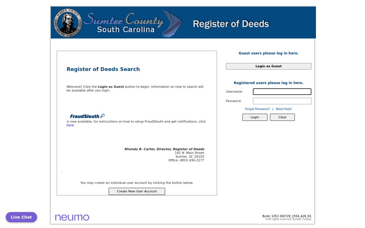
Once an index entry is available, confirm the instrument type, recording date, book/page or instrument number, grantor and grantee spellings, legal description, and any cited prior instrument. The Sumter County Register of Deeds is at 141 N. Main Street, Sumter, SC 29150, and the courthouse listing gives 803-436-2177. Ask the office for the image or certified or ordinary copy by its identifier.
Note: A recorded party or mailing address is an instrument detail, not proof of a present address.
Check Sumter Entity Records
A deed or permit can name a business entity rather than a person. In that situation, preserve the source sequence: parcel, recorded instrument, exact grantee name, then the state entity route. The state entity system is the official place to search existing entities and registered agents. The Secretary of State says that its entity search does not provide officer or director information.
The Secretary of State search launch page leads to the current state entity route.
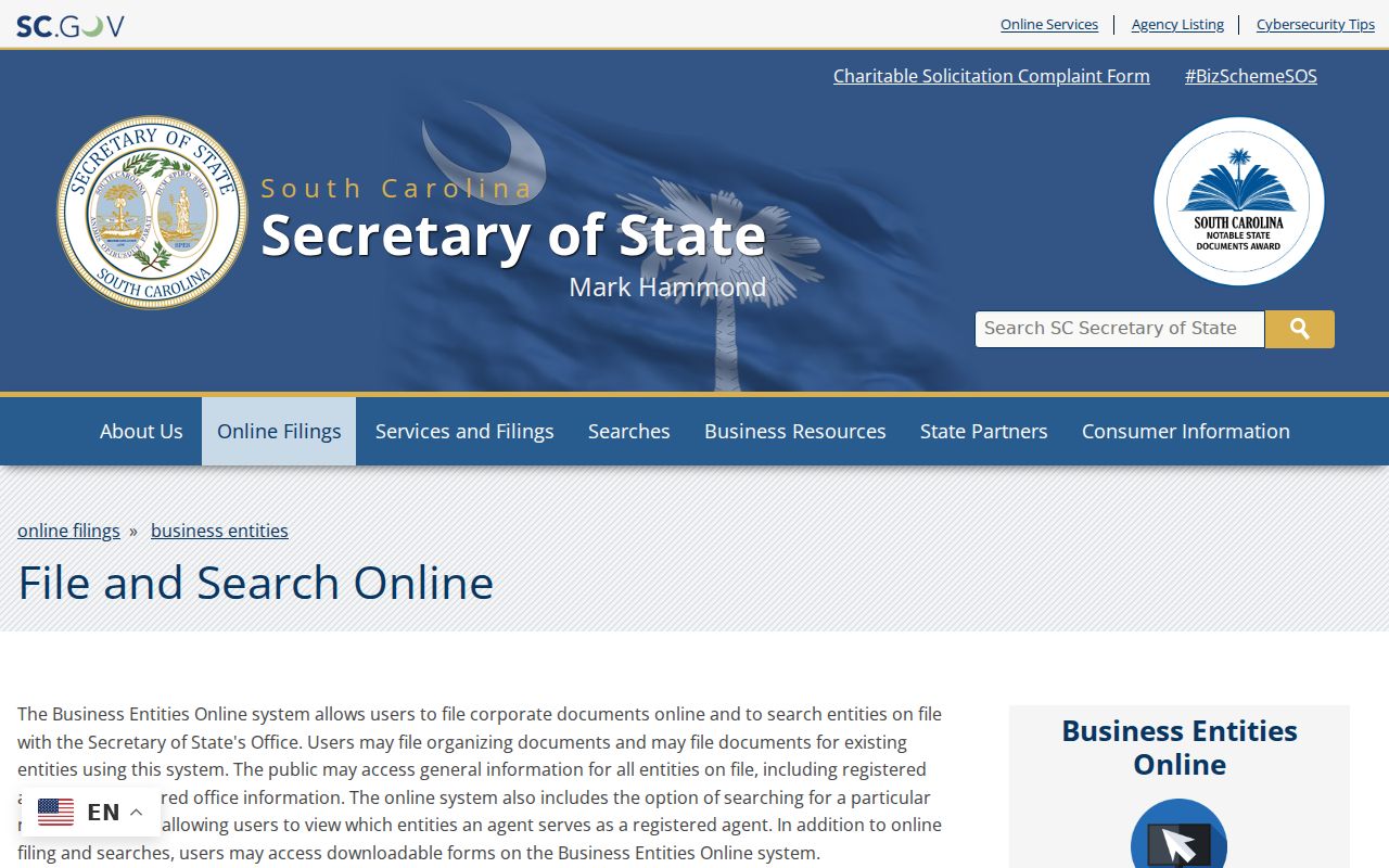
An entity mailing address, a parcel tax mailing address, and a physical situs address are separate fields. Exact punctuation and suffixes matter in an entity name. A UCC financing statement is only a notice filing and should not be used as proof of ownership, a current location, or a personal connection.
Use Sumter Election Record Limits
MySCVotes supports personal registration-status, polling-place, sample-ballot, and voting-history tasks. Its interactive labels were not captured during research, so the live tool should determine the exact input method. It is not a public list of people at Sumter addresses. Voting history does not reveal ballot selections, and registration status does not establish a person’s current location.
The official MySCVotes registration route leads to the State’s live individual election tool.
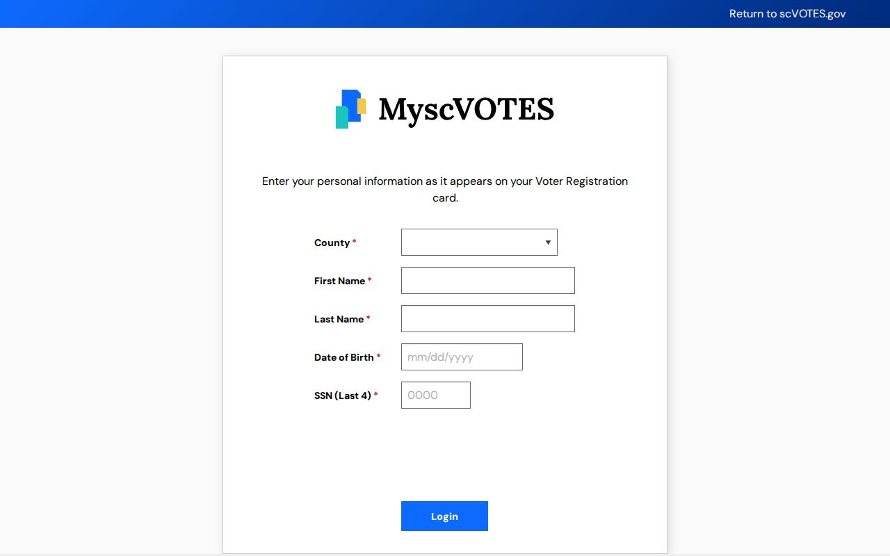
S.C. Code §7-5-410 provides for inspection of voter-registration records by a citizen at the County board or Clerk’s office, subject to redactions and office procedures. For a limited administrative question, contact Sumter County Voter Registration & Elections at Magnolia Place and ask about viewing, copies, and fees. Do not request or assemble a voter list for a street or block.
Compare Sumter Address Labels
Use the official USPS ZIP Code Lookup to validate one mailing address. USPS is the delivery authority, not the authority for City limits, voting districts, tax parcels, neighborhood boundaries, or present residence. A Sumter postal label can apply outside the City corporate limits, and a City address can use a code that serves a broader area.
For jurisdiction, use the City-limit layer in the map viewer and ask Planning when a boundary matters. City Council actions show that annexation can change parcel by parcel, including actions at 1280 Alice Drive in 2019 and 2600 Broad Street in 2017. Those examples do not establish the status of another address. The City/County map, Planning staff, and a dated boundary record are the right chain for a specific question.
Read Sumter Street History
The digitized Walsh’s Directory of the City and County of Sumter, S.C., 1905–06 has a general name directory, a street department, classified listings, and county, taxpayer, and post-office material. Its street department can connect a house number with an occupant or use for that publication period. That is a dated historical lead, not evidence of a current address, family, or property interest.
The Library of Congress holds a nine-sheet 1902 Sanborn map set for Sumter. It can help compare a building, street, use, and block layout with a later map or deed description. No authoritative source in this research documented a Citywide street-renumbering or renaming table. Preserve old wording, compare dated sources, and ask the Museum, Library, or mapping staff to help interpret a specific change.
For the historical directory collections and how an entry reads, use the Sumter City Directory. Street research should compare those dated records with a current map and recorded document, not merge them into one unbroken address story.
Ask Sumter Records Custodians
When the online route does not answer the question, ask the office that owns the record. State the address as it appeared when the record was created, the date range, and the record type. For a map question, ask about the layer, City-limit status, or map product. For a land document, give the instrument number or legal description. For a City administrative record, name the department and ask for an estimate before a substantial request.
Mapping and Planning
City/County Planning can explain a map or boundary question. The published contact is 803-774-1607 and planning@sumtersc.gov.
Register of Deeds
Use the office for recorded instruments, plats, and image or copy questions. Bring the parcel key, instrument number, or book/page.
City Clerk
Use the City Clerk’s written-record request route for existing City material, not for County, court, DPH, or state agency files.
The City FOIA page says written requests may be delivered in person, by mail, or by email, and it lists the City Clerk as the receiving route. The 2024 form asks for a specific record description, preferred format, signature, and date. The City states a 10-working-day response period. South Carolina’s Freedom of Information Act governs requests to the public body holding the existing record, with separate rules for exemptions, estimates, and production.
Keep Sumter Street Research Boundaries
Address records should be read as evidence of a particular map, assessment, transaction, election procedure, or historic publication. They do not establish present household composition, identity, family ties, or a current location. Public records can be old, incomplete, redacted, or tied to a different person with the same name. A historic Walsh listing and a recorded grantor both need a date and an independent source before they become a possible historical match.
Lawful use. Use official Sumter address records for personal, lawful research and verify facts with the custodian. Never use address or record information to stalk, harass, intimidate, or harm anyone.
The South Carolina Attorney General’s Address Confidentiality Program provides a substitute mailing address and mail-forwarding service for eligible participants. It does not erase earlier records. Respect visible redactions and leave protected information with the office that is required to handle it.
Note: When map, mailing, and recorded details conflict, label the difference and request clarification from the responsible custodian.