
Sumter ZIP Code Coverage
Four ZIP Codes appear in the cautious City-area working set: 29150, 29151, 29153, and 29154. They are useful postal clues, not drawn neighborhood boundaries. City Hall and County or courthouse addresses use 29150. The other codes appear in documented City or broader urban-area mailing use, but the research did not establish a complete geographic edge or delivery type for each one. USPS must confirm the code assigned to a particular mailing address.
| ZIP Code | Areas Covered | Post Office | Notes |
|---|---|---|---|
| 29150 | Main Sumter delivery code used by City Hall and County or courthouse addresses | Not specified in the research | Confirm each address with USPS; it is not a City-limit line. |
| 29151 | Sumter City mailing and P.O. Box use | Not specified in the research | Postal or mailing use only; do not treat it as a neighborhood. |
| 29153 | City-facility mailing use in the Sumter area | Not specified in the research | Verify the individual address before calling the whole code City territory. |
| 29154 | Broader Sumter urban mailing area | Not specified in the research | No City-specific boundary or routing type was confirmed in the research. |
Code 29152 appears in broader County-area postal lists, but it was not confirmed as a standard City-of-Sumter delivery code. It belongs outside a City-specific result set unless USPS returns it for the address being checked. That restraint matters because Sumter County routes and City limits extend beyond a single postal label.
Note: A postal code can guide mail research, but USPS is the authority for the address while local government offices answer jurisdiction questions.
Verify a Sumter ZIP Code at USPS
The official USPS ZIP Code Lookup is the correct first check for a mailing address. Its result should be kept as an address-format record, not transformed into a property boundary, title statement, voter record, or current-residence conclusion. When an old letter, deed, or directory uses a different street form, preserve the historical spelling in the research note and record the USPS result separately.
The USPS lookup screen shows the address-to-ZIP verification route used for Sumter mail questions.
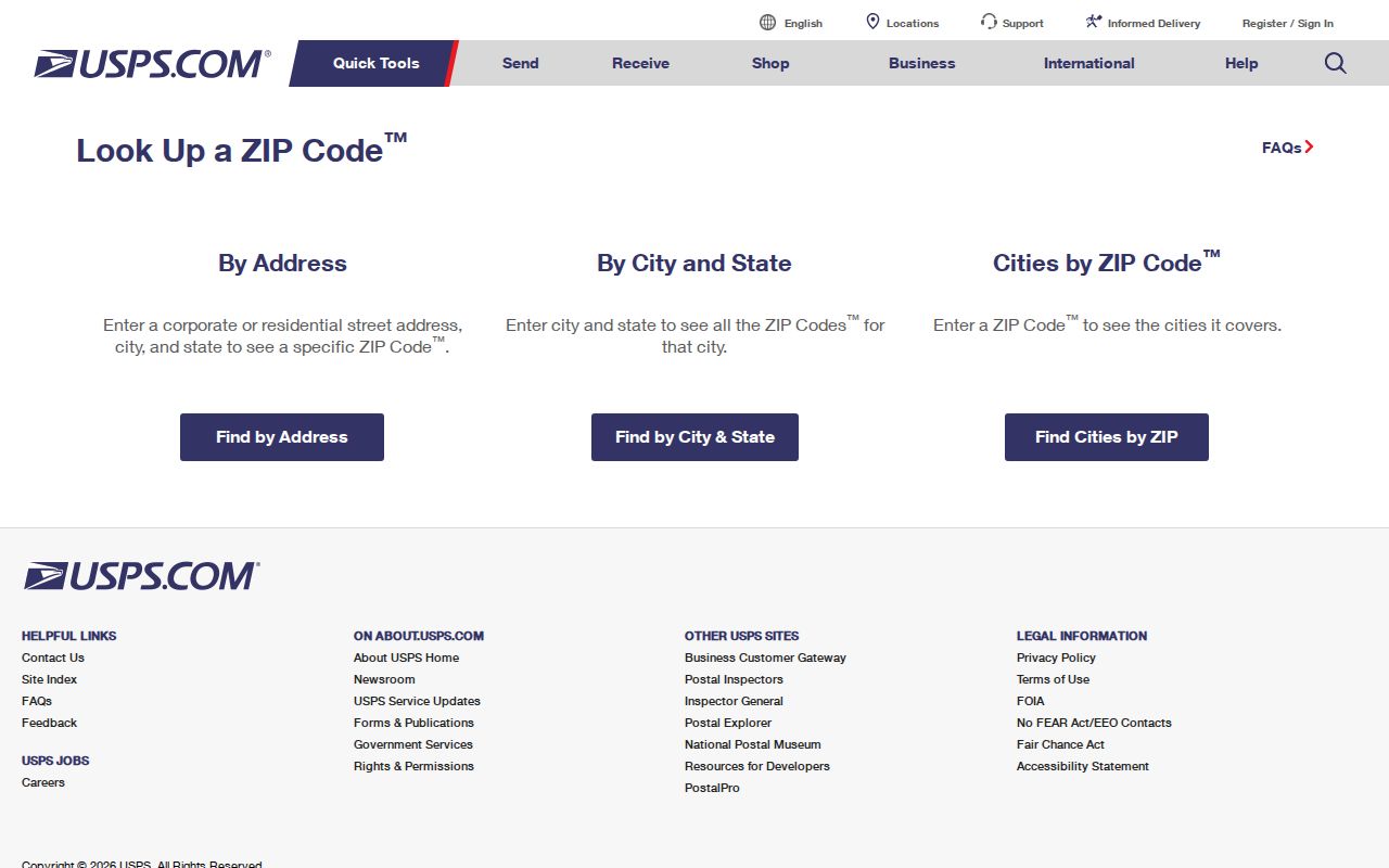
A verified mailing result is a good starting key for a local records inquiry, but it does not replace the City map or County parcel record.
| Lookup element | Use for a Sumter ZIP code question |
|---|---|
| Address-to-ZIP lookup | Validate the mailing ZIP for one address. |
| Verified mailing format | Retain the postal form alongside the original source wording. |
| Result boundary | Do not use the postal result to prove City limits, parcel boundaries, ownership, or occupancy. |
USPS may standardize a suffix or supply ZIP+4 information. That format is useful for mail, yet a deed can still use a legal description and a property record can use a different mailing address. Each is a different kind of record.
Search Sumter Residents Within a ZIP Code
A Sumter ZIP Code can narrow an address-led investigation, but no official Sumter parcel database with a verified public ZIP filter was observed during research. The County qPublic route could not be inspected closely enough to confirm an active ZIP control. The City map is built around mapped layers, not a documented ZIP filter. Start with a verified address or parcel instead of attempting to produce a ZIP-wide list of people.
- Verify the mailing address with USPS and retain the ZIP Code returned for that address.
- Open the City Mapping Services route or the City parcel and address viewer to place the street, road, parcel, and City-limit layer in context.
- Use the County-designated qPublic property route for the verified parcel or address, then check the live page for its available controls and record date.
- If a recorded-document question remains, take the parcel or legal-description lead to the Register of Deeds index and confirm access, coverage, and image rules with the office.
Voter-registration records have an inspection route under state law, while MySCVotes serves individual registration and election-information tasks. Neither was verified as a public ZIP or street list. Once a ZIP has narrowed an address to one street, the Sumter street directory has the fuller address-record sequence.
Sumter ZIP Code Research Terms
Postal terms are easy to overread. The labels below keep a Sumter ZIP Code question in its proper lane. They also prevent a researcher from merging a mail format with the legal and geographic labels used by the County and City.
- ZIP Code
- A postal delivery and routing designation for mail, not a municipal boundary or parcel description.
- ZIP+4
- An added postal detail that helps route mail more precisely; it does not change the legal address or determine City jurisdiction.
- P.O. Box ZIP
- A code used for a mailing or box service. It should not be presented as a geographic neighborhood without address-specific USPS confirmation.
- Carrier route
- A mail-delivery grouping. It is not a public roster of households, a voter district, or a property-title record.
The County property route may show a physical or situs address, while a tax mailing address can point elsewhere. A deed may cite a plat, lot and block, metes and bounds, or a prior instrument. Preserve all of those labels instead of choosing one as the only address.
ZIP Codes Do Not Set Sumter Limits
A mailing address can say “Sumter, SC” even when it lies outside the City corporate limits. The reverse situation is also possible: an incorporated-area address can use a postal code serving a broader area. The City and County parcel-address viewer is the practical source for roads, parcels, subdivisions, and the City-limit layer. City Planning can confirm a boundary question with the relevant municipal record.
City Council has published individual annexation actions, including actions at 1280 Alice Drive in 2019 and 2600 Broad Street in 2017. Those examples show why a boundary can change parcel by parcel. They do not establish the status of another address. For a close call, save the map date and ask City Mapping Services or Planning to identify the applicable source.
Note: A current map display is useful geographic evidence, but it does not replace an official boundary determination or recorded plat.
Sumter ZIP Searches Without a Filter
The research did not verify a public City-wide ZIP search in qPublic, the parcel viewer, or MySCVotes. That gap should change the method, not invite a guess. Use the City map to orient the address and its City-limit context. Use the County property route to locate a property-card lead where the live service permits it. Then use the Register of Deeds when the question concerns a recorded instrument rather than an assumed present-day household.
The difference is important. An assessment account serves an administrative purpose. A deed documents a recorded instrument. A mailing address may be different from a physical site. None of those records alone identifies who currently lives at an address. Keeping each source in its own column makes a ZIP Code directory more accurate and safer to use.
For a portal that is gated, unavailable, or changed, begin from the Sumter County website and ask the responsible office about the active controls, record coverage, image access, and any fee before relying on a result. The Register of Deeds is at 141 N. Main St., Sumter, SC 29150, and the courthouse listing gives 803-436-2177 for its contact route.
Historic Sumter ZIP Code Questions
Older Sumter sources may have a rural route, post office, old street form, or house number that does not match a current mailing address. Do not silently convert it. Record the address exactly as written, its source date, the map or directory edition, and a separate modern parcel or address hypothesis only when a plat or recorded document supports the link.
The 1905–06 Walsh city and county directory and the 1902 Sanborn map set give dated street context, not automatic modern translations. The historic survey describes early development around Main Street, later growth toward Calhoun, Hampton, North Main, and the railroad, plus mid-century subdivisions. Those changing settings make date labels essential.
For a historical address, the Sumter Museum archive and genealogy route can help with plats, photographs, manuscripts, and a question that includes the date, street form, map or directory page already checked, and the specific research problem. The Museum material also reaches into the old Sumter District context, which predates modern County boundaries.
Check Sumter ZIP Codes Carefully
For a current mailing question, save the USPS-verified format and the date checked. For a City question, capture the City-limit layer and its map date. For a land question, retain the parcel ID, physical address, legal description, and source URL separately. For an older address, retain the original wording instead of modernizing it by assumption.
If two sources disagree, describe the difference as a mailing or mapping issue and seek clarification from USPS, Planning, or the County office that owns the record. That small discipline prevents a ZIP Code from carrying more meaning than the record supports.
Note: Portal fields, office practices, and map layers can change, so confirm a live interface before treating it as a permanent search feature.